An estuary can be defined as an area where freshwater from rivers and streams mix with saltwater from the ocean (NOAA). Estuaries serve as feeding and spawning grounds for many fish species in Hawaiʻi. Most of Hawaiʻi's estuaries are located on the windward sides of islands. Windward areas are wetter than leeward areas, resulting in more freshwater ending up in the ocean through streams. Steady flow of freshwater is key for a healthy estuary. It's obvious that fish will prefer to spawn at an estuary with fresh flowing stream water rather than a estuary with stagnant stream water.
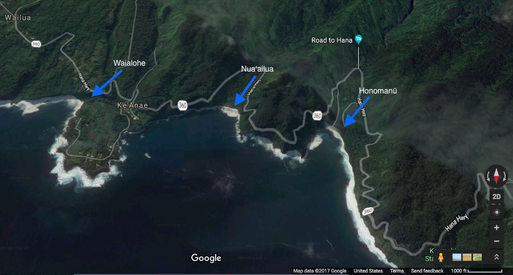
For over a century, many of East Maui streams were diverted for sugarcane production in Central Maui. These water diversions left streams bone-dry, fragmenting the estuaries associated with them. Only during storms was when the streams had water, which was dirty brown that is not good for estuary and marine health. Below is a google map screenshot of three different estuaries located on the Eastside of Maui. Each estuary has its own uniqueness to it. They may differ in size, structure, and species present.
Our Hawaiian ancestors had strong relationships with estuaries and utilized them greatly. A great example of this are loko iʻa (fishponds), structures built from rocks and coral that assisted in farming fish (http://paepaeoheeia.org/thefishpond). Although fishponds are not necessarily located in the intertidal zone, they are dependent on intertidal zones to provide Fishponds were so productive, they could feed an entire ahupuaʻa and even more if needed. Many of Hawaiʻi's fishponds are gone, but the ones still present seem to be effectively managed. Other than loko iʻa, Hawaiians practiced fishing techniques like hukilau, which required a net and the help from many people to accomplish. The net was casted from offshore and pulled inshore to capture fish. Some popular places in Hawaii where Hukilau were practiced are Hukilau Beach in Lāʻie and Kahana Bay, both on Oʻahu.
Property of Google Maps 2017
